Remote Sensing

Remote sensing is the acquisition of information about the Earth’s surface by sensing and recording reflected or emitted energy in the visible, infrared and microwave segments of the electromagnetic spectrum. The acquired data are additionally processed, analyzed and delivered to end users, servicing them in numerous important thematic fields (such as: follow up of vegetation cycles, changes of urban environments, sudden changes, e.g. natural disasters, etc.).
Members of the Centre of Excellence Space-SI have been active in the field of remote sensing for almost two decades and they form the leading Slovene expert team in this field.
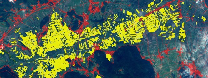
Fully automatic processing of satellite data is a dream for every remote sensing professional. Within the Slovenian Centre of Excellence for Space Sciences and Technologies (Space-SI) we have done first steps towards fulfilling this dream. We have developed and implemented an Automatic Optical Satellite Data Processing Chain.